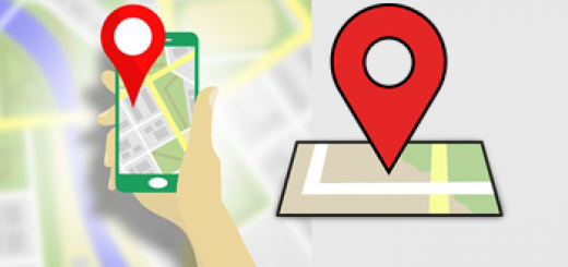
Use the Maps API to Show the Real-Time Location of the Customer and Driver
In today’s fast-paced world, customers expect transparency and convenience when booking a ride. By integrating Google Maps API, you can provide real-time tracking of both customers and drivers, enhancing user experience and ensuring smooth ride coordination.
Why Real-Time Location Tracking Matters
- Boosts Customer Confidence – Reassure riders by displaying their driver’s live location about their position.
- Guides Drivers Efficiently – If a driver is unfamiliar with an area, real-time tracking helps them navigate to the pick-up point.
- Works Globally – Google Maps provides worldwide coverage, eliminating the need to manage multiple map providers in different regions.
Enhancing Fleet Management with Google Maps API
For taxi and ride-hailing companies, asset tracking is essential. Google Maps API allows businesses to:
- Monitor Fleet Locations – View all vehicles on a central map to optimize dispatching.
- Process Offline Bookings – Easily assign drivers to phone-in customers based on real-time availability.
How to Store and Retrieve Location Data
To efficiently manage and retrieve taxi fleet locations, consider using cloud solutions like Firebase. For more details, check out our blog post on how to store your location data in the cloud with Firebase.
Get Started with Google Maps API
Integrating real-time tracking into your application is easier than ever with Google Maps API. Whether you’re building a taxi booking app, delivery service, or logistics platform, real-time location sharing is a game-changer for improving customer satisfaction and operational efficiency.